


There are many geographical questions which have confused Game of Thrones fans over the last seven seasons.
Such as, how far is The North from Kings Landing?
Then how far north is The Wall from Winterfell?
What inspired George RR Martin when he was creating the world of Westeros and all that inhabit it?
It turns out, the genius behind Game of Thrones had Ireland in mind when he designed the Westeros map, which features throughout the opening credits of HBO's hit show.
If you flip Ireland upside down you get a pretty spot-on Westeros!
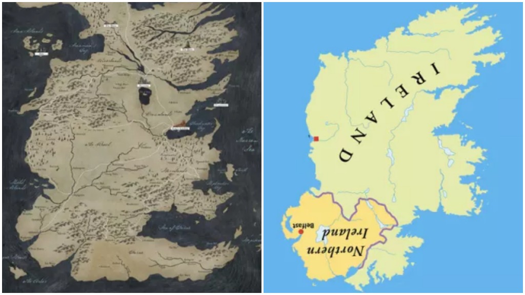
George RR Martin confirmed this himself years ago at Comic Con saying, 'If you want to know where a lot of fantasy maps come from, take a look at any map in the front of your favourite fantasy book and turn it upside down. Westeros began as upside-down Ireland. You can see the Fingers at the Dingle Peninsula.'
*SPOILER ALERT*
And as the credits get a fancy new make over for the new season we felt a deep dive into the land of of Westeros was warranted.
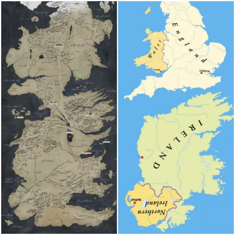
The similarities don't stop at Ireland. One reddit user noticed that if you plonk England on top of upside-down Ireland you get an even better comparison.
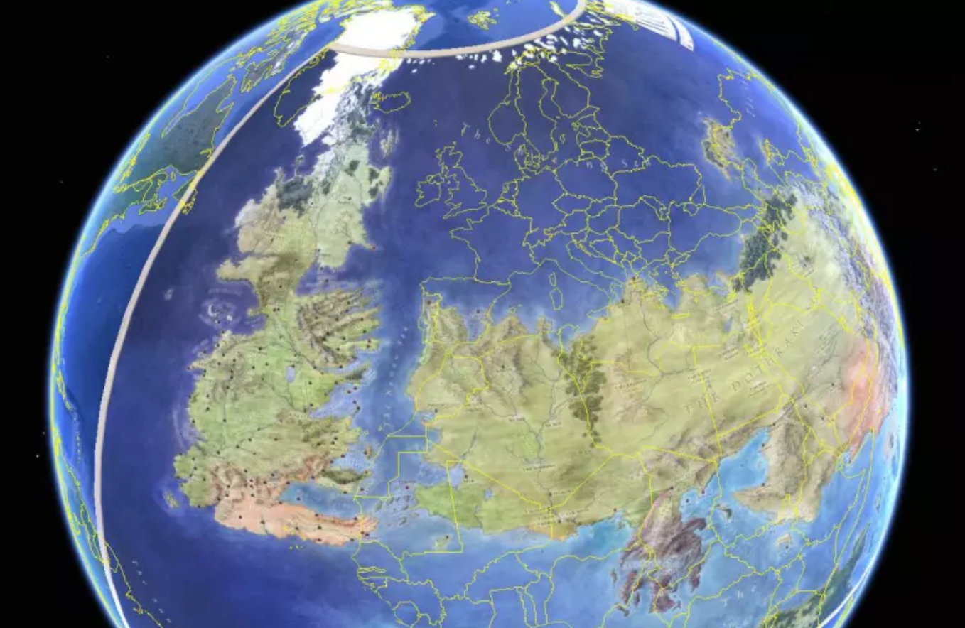
However the maps do not match in size.
Westeros is thought to be around 3,000 miles long.
Reddit user jb2386 puts it into perspective, comparing the land of Game of Thrones to a map of the world we're more familiar with.
If you're looking to catch up on all things Game of Thrones Season 8, grab a cuppa and join Muireann O'Connell and guests for a full discussion of episode one here.


